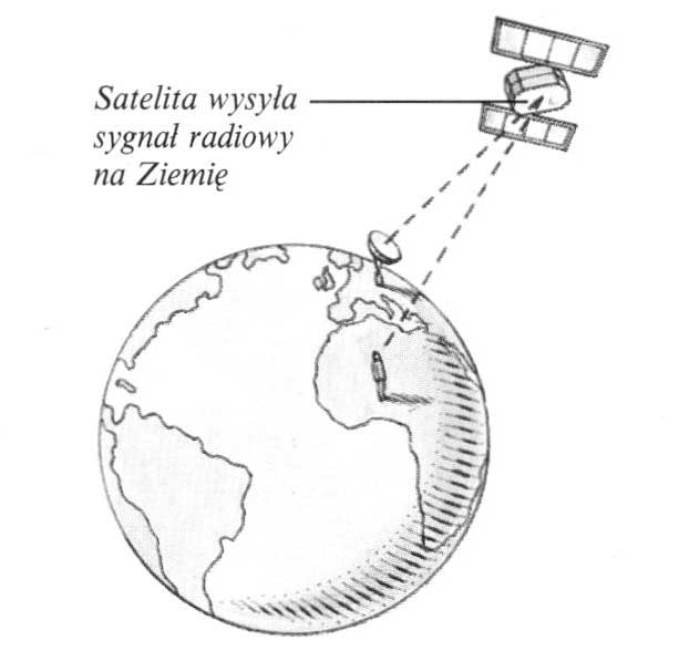
GPS, So Global Positioning has radically changed the methods of maritime and air navigation and ways to determine the location in the field. The system uses artificial satellites circulating in the Earth's orbit, which send radio signals to the ground. Using a special receiver (also called GPS), You can take over these signals and determine your own geographical location. Ground relay stations calculate the position of the satellite in orbit. Thanks to this, reading on your personal receiving device is very accurate; constantly shows changes in the geographical location. In the past, navigation on the high sea or orientation in an endless desert required complex operations and calculations using a compass, Sekstansu, chronometer and other instruments.
Satellite connection
Ground stations receive signals from satellites circulating in the Earth's orbit. These signals can be received using special receivers with the length and latitude reading.
 Satellite connection


")

