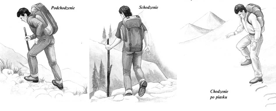
March – Setting the route – Danger

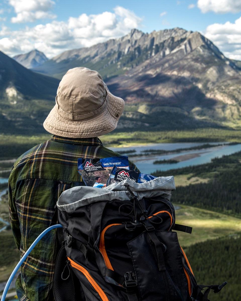
Setting the route – The best way to determine the route is to cross it. However, this is a not practical method, Especially in critical situations, When you have to save yourself. Before setting off, there should be a high observation point – Lift or tree, na które można …

Walking technique – march

Traveling on foot significant distances in the field, In addition, with a load, It is definitely different from walking around the city. In the group, the pace of the march must be adapted to the possibilities of the slowest infantry. Przed wyruszeniem w teren należy szczegółowo przygotować plan i ekwipunek oraz ustalić …

Bypassing obstacles in the field

On land, you can not always make sure you can or should be moved constantly in a straight line according to the azimuth indicated by the compass. Poniżej przedstawiono kilka przykładów pokazujących jak omijać przeszkody w terenie, and at the same time not to lose orientation, using the compass. Pozwalają …

Orientation in the field

The orientation in the field requires, above all, the ability to use the map and compass. They are used to set out the shortest, and at the same time the safest road in a diverse area. On land it is impossible to determine the roads so precisely, as at sea. There you can set a simple course, …

MAP Preparation

MAP Preparation

1 On a piece of paper, remove a rectangular mesh with mesh corresponding to one square kilometer of the area of ​​the area. In the middle, draw a cross meaning your position.

2 Find a convenient observation point. Designate azimuth compass, determining the direction of a characteristic point on the horizon. Oszacuj odległość …

Using GPS – em

Using GPS – em

GPS, So Global Positioning has radically changed the methods of maritime and air navigation and ways to determine the location in the field. The system uses artificial satellites circulating in the Earth's orbit, which send radio signals to the ground. Posługując się specjalnym …

Cartographic mapping

The map is to present as accurately as possible on the plane a selected segment of the convex surface of the earth. Any projection of the globe on the flat surface of the cylinder or cone must deform the image of the earth in one way or another. Dlatego też mapy nigdy wiernie nie oddają wszystkich cech …

Coordinates on the map

Coordinates on the map

The coordinates allow you to accurately determine the location of the point on the map. This is enabled by a cartographic or topographic mesh of vertical and horizontal lines corresponding to meridians and parallels. When determining the position, the vertical coordinate is always given first. Niektóre części mapy mogą …

Levels

Poziysomice on the map

Poziomice combine points on the map of the same amount. On many maps along each spirit level there is a corresponding height above sea level. The numbers meaning this height are written in accordance with the decrease in the slope.

Cliff – Starając się odczytać …

Reading the map

There are many types of maps for various purposes available. The right choice is of great importance for the prepared trip. You should often take a few maps, among which there should be one with a small pitch (scale), depicting the entire area of ​​the journey, and a few more accurate, individual areas. …